 English
  Português
  Deutsch
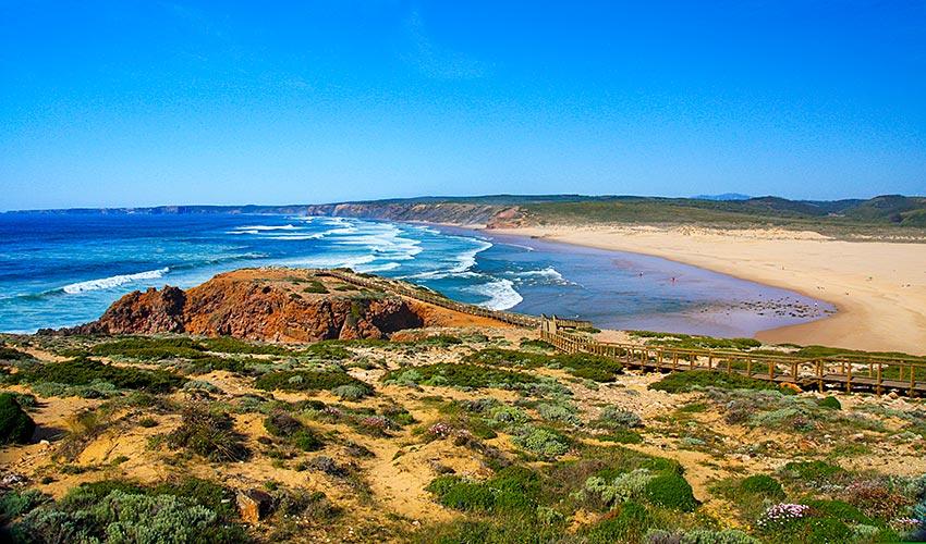
Portugal is divided by the Tagus river, which separates the rugged north from the rolling plains in the south. In the north, the landscape is an extension of the mountains of the Iberian Peninsula – forested and intersected by deep valleys.
Between the Douro and the Tagus rivers is the highest peak on the mainland, Serra da Estrela (6,539 feet/1,993 metres). Portugal’s highest point is Pico Alto (7,713 feet/2,351 metres) on Pico Island in the Azores.
South of the Tagus river, the landscape is characterised by wide plains, planted with mostly Mediterranean species including cork oaks, figs, olive trees and vineyards.
Many of Portugal’s rivers originate in Spain and flow into the Atlantic Ocean, including the Minho, Douro, Tagus and Guadiana rivers, creating a rich hydrographic network.
The islands of Madeira and the Azores are also part of Portuguese territory. Located in the Atlantic Ocean, both archipelagos have volcanic origins and are abundant with natural beauty and indigenous species.

